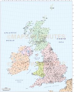
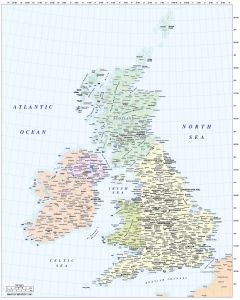
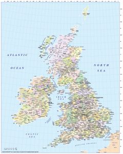
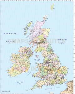
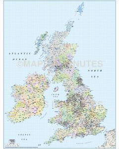
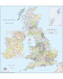
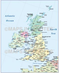
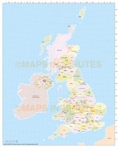
Whole UK County maps

A wide selection of Whole British Isles administrative maps (for use under A4 up to any size) in various scales. These are vector maps of the highest quality, whatever size you use them. Fully layered and 100% editable including editable font text. Sets of these maps are available within the British Isles Map Collections category which offer significant savings per map.