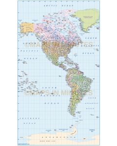
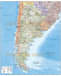
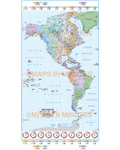
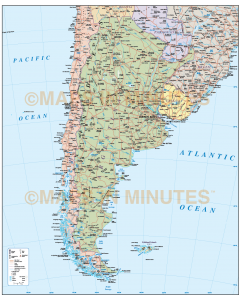
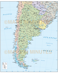
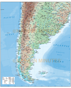
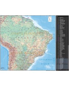
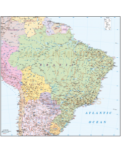
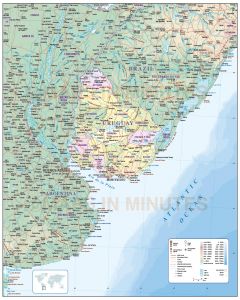
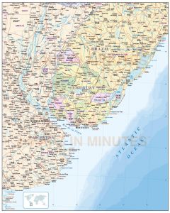
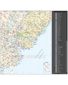
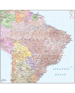
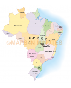
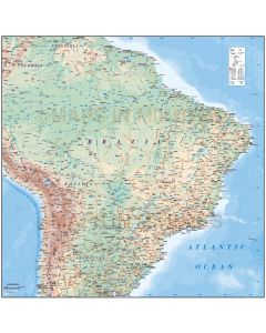
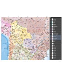
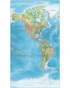
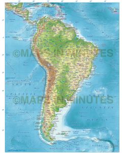
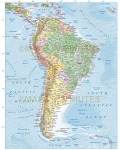
S America Country maps

A wide selection of vector format South American country maps (A4 up to any size) in political and
contour options including roads and railways, physical features and first level political divisions.
These are quality vector maps and they will remain sharp whatever size you use them.
Supplied in Adobe Illustrator and PDF digital formats, fully layered and 100% editable including font text.