Buy 100% Editable Maps and World Map Murals from atlas digital maps ™
... suppliers of creative digital maps for graphic design and
unique, eye-catching printed maps on canvas, pinboards, vinyl, & fine paper ...
Ideal for business, movies/TV, education, office & home decor, pushpin travel maps & gifts
DIGITAL MAPS
Our licensed editable digital maps are easy to use with flexibility, accuracy and style for professional results.
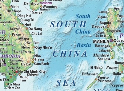
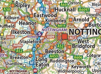
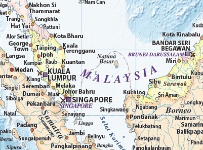
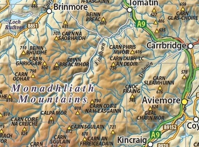
Perfect for customisation & production at all sizes. Extensive worldwide data includes political & road digital vector maps with stunning high resolution hill shading, land & ocean floor relief & contour options
Fully layered in Illustrator CS plus pdf, tiff & jpeg options. Immediate Download upon Checkout
PRINTED MAPS
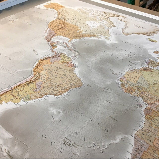
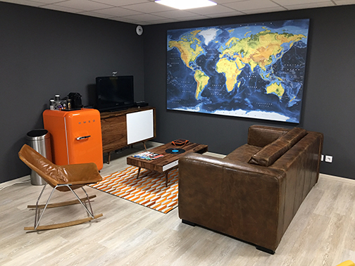
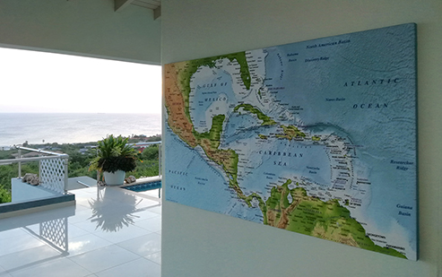
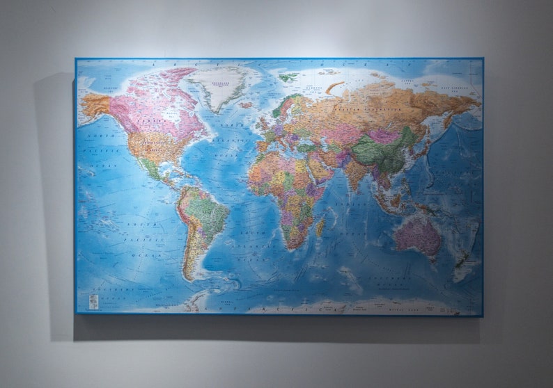
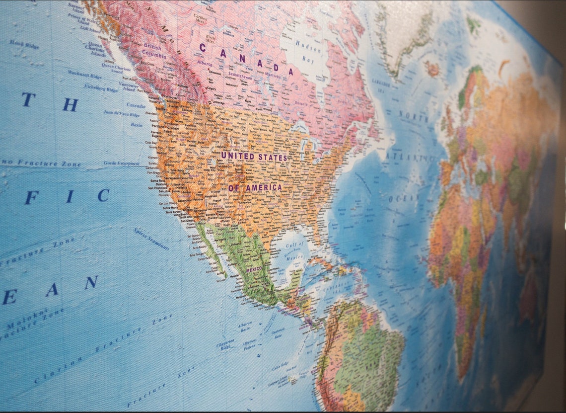
Canvas (Stretched or Rolled), Vinyl & Push Pin World Map Printed Products
Original, up-to-date, professionally manufactured in a range of sizes
Stretched Canvas shipped to UK, Canada & USA. Rolled Canvas shipped to Canada & USA
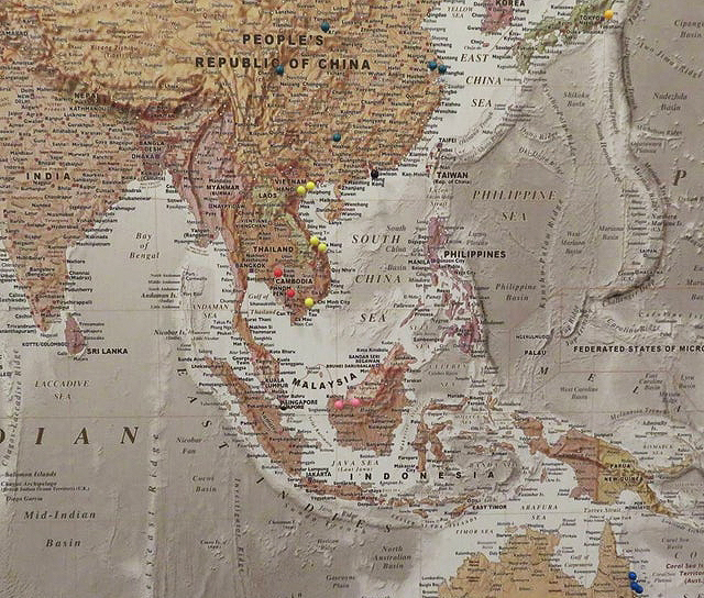
Push Pin Maps shipped to UK, USA & Canada
FREE Delivery!
Contact Us for Custom Digital & Printing Services from our broad range of atlas digital maps ™
Featured Products
-
Self-adhesive VINYL World Map, Tan & Sand Political/Physical with Bold textCanada & USA Destinations only - FREE SHIPPING!....See More£112.50
-
-
-
Rolled Canvas Political World Map with contoured ocean floor Canada & USA Destinations only - FREE SHIPPING!....See More£135.00
-
Rolled CANVAS World Map, Tan & Sand Political/Physical with Bold textCanada & USA Destinations only - FREE SHIPPING!....See More£135.00
-
Self-adhesive VINYL Land & Sea Physical Map Canada & USA Destinations only - FREE SHIPPING!....See More£112.50
-
-
Our best seller! Popular for the WOW! factor in the home, workplace, commerce and educationFree UK delivery Contact us for International shi....See More£55.00
-
-
VINYL World Map, Tan & Sand Political/Physical using Bold textCanada & USA Destinations only - FREE SHIPPING!....See More£112.50
-
-
-
World Wall Map Print, US-centric Political & Ocean Contour reliefUK, Canada & USA Destinations onlyFREE SHIPPING! ....See More£180.00
-
Rolled CANVAS Antique-style Tan and Stone World Land & Sea Physical MapCanada & USA Destinations only - FREE SHIPPING!....See More£135.00
-
Rolled CANVAS Land & Sea Physical Map Canada & USA Destinations only - FREE SHIPPING!....See More£135.00
-
Stretched CANVAS Rainbow Physical World MapUK, Canada & USA Destinations onlyFREE SHIPPING! ....See More£180.00
-
-
Self-adhesive VINYL World Map, Asia-centric, Political & Ocean floor relief Map with country insets Canada & USA Destinations only -....See More£112.50
-
Self-Adhesive Vinyl Antique-style Political & Physical Map Canada & USA Destinations only - FREE SHIPPING!....See More£112.50
-
-
Rolled Canvas World Map Political coloured and relief ocean floor Canada & USA Destinations only - FREE SHIPPING!....See More£135.00
-
Rolled Canvas World Map Political Relief Light with blue ocean floor. Canada & USA Destinations only - FREE SHIPPING!....See More£135.00
-
Rolled CANVAS Land & Sea Physical Wide Map Canada & USA Destinations only - FREE SHIPPING!....See More£145.00
-
Vinyl World Map Print, Political Relief Light colours with blue ocean floor Canada & USA Destinations only - FREE SHIPPIN....See More£112.50
-
-
Rolled Canvas World Map UK-centric Political with shaded ocean floor contours Canada & USA Destinations only - FREE SHIPP....See More£135.00
-
Self-adhesive VINYL Political & Ocean floor relief Map with country insets Canada & USA Destinations only - FREE SHIPPING!....See More£112.50
-
-
Stretched Canvas World Map Political Medium with contour relief ocean floorUK, Canada & USA Destinations onlyFREE SHIPPING! ....See More£180.00
-
VINYL World Map print, Antique-style Tan & Sand Physical/Political Canada & USA Destinations only - FREE SHIPPING!....See More£112.50
-
-
-
Framed CANVAS Stone Political & Physical World MapCanada & USA Destinations only - FREE SHIPPING!....See More£135.00
-
Rolled Canvas Political World Map Canada & USA Destinations only - FREE SHIPPING!....See More£145.00
-
Self-adhesive VINYL World Map, Tan Antique-style Political & Physical Canada & USA Destinations only - FREE SHIPPING!....See More£112.50
-
-
Stretched Canvas World Map Political Relief Light with blue ocean floorUK, Canada & USA Destinations onlyFREE SHIPPING! ....See More£180.00
-
-
-
Political & Physical World Push Pin Stretched Canvas MapUK Destinations only - FREE SHIPPING!....See More£120.00
-
Rolled CANVAS World Map US-centric Political & Shaded Ocean ContoursCanada & USA Destinations only - FREE SHIPPING!....See More£135.00
-
NEW PRODUCT! Perfect for so many colour schemes in the home, workplace, commerce and educationFree UK delivery Contact us for International ....See More£55.00
-
Rolled CANVAS World Map, Antique-style Tan & Sand Physical/Political Canada & USA Destinations only - FREE SHIPPING!....See More£135.00
-
Self-adhesive VINYL Dark style Land & Sea Physical Map Canada & USA Destinations only - FREE SHIPPING!....See More£112.50
-
Rainbow Physical World Wall Map Canvas Print Canada & USA Destinations only - FREE SHIPPING!....See More£135.00
-
Our best seller! Popular for the WOW! factor in the home, workplace, commerce and educationFree UK delivery Contact us for International shi....See More£45.00
-
-
Vinyl World Map print, US-centric Political & Shaded Ocean ContoursCanada & USA Destinations only - FREE SHIPPING!....See More£112.50
-
Self-adhesive VINYL Equal area Political MapCanada & USA Destinations only - FREE SHIPPING!....See More£125.00
-
-
Stretched Canvas Political World Map with contoured ocean floorUK, Canada & USA Destinations onlyFREE SHIPPING! ....See More£180.00
-
A fabulous must have in the office or home ...Free UK delivery Contact us for International shipping ....See More£45.00
-
Rolled Canvas Tan Antique-style Physical Map Canada & USA Destinations only - FREE SHIPPING!....See More£135.00
-
Rolled CANVAS Land & Sea Physical Map Canada & USA Destinations only - FREE SHIPPING!....See More£135.00
-
Self-adhesive VINYL World Map Political Medium with contour relief ocean floor. Canada & USA Destinations only - FREE SHI....See More£112.50
-
-
Vinyl World Map UK-centric Political with shaded ocean floor contours Canada & USA Destinations only - FREE SHIPPING!....See More£112.50
-
Self-adhesive VINYL Central London Street Map Amazing detail and quality. Canada & USA Destinations only - FREE SHIPPING!....See More£165.00
-
Political & Physical World Push Pin Stretched Canvas MapUK Destinations only - FREE SHIPPING!....See More£175.00
-
Stretched CANVAS Stone Political & Physical World Map UK, Canada & USA Destinations onlyFREE SHIPPING! ....See More£180.00
-
Rolled Canvas World Map Political Medium with contour relief ocean floor. Canada & USA Destinations only - FREE SHIPPING!....See More£135.00
-
Self-adhesive VINYL SE England County/Road & Rail Map Canada & USA Destinations only - FREE SHIPPING!....See More£80.00
-
VINYL World Map Print, Antique-style Tan and Stone Land & Sea PhysicalCanada & USA Destinations only - FREE SHIPPING!....See More£112.50
-
-
USA Stretched Canvas Map, Political & Physical North America Destinations only - FREE SHIPPING!....See More£215.00
-
Rolled Canvas World Map Asia-centric Political with shaded ocean floor contours Canada & USA Destinations only - FREE SHI....See More£135.00
-
Self-adhesive VINYL Land & Sea Political & Physical Map Canada & USA Destinations only - FREE SHIPPING!....See More£112.50
-
-
Stretched Canvas World Map Political Medium with contour relief ocean floorUK, Canada & USA Destinations onlyFREE SHIPPING! ....See More£180.00
-
ROYALTY FREE. Large up-to-date, highly detailed, 100% editable layered vector political and relief map in Illustrator CS format. Suitable fo....See More£150.00
-
Large scale, up-to-date, highly detailed, 100% editable layered British Isles road, rail and county map in Illustrator AI CS vector format. ....See More£550.00
-
Large, up-to-date, layered British Isles UK road, rail & county map in Illustrator digital format.Contains county/admin boundaries and ....See More£325.00
-
Small scale, fully layered, 100% editable British Isles Regular Relief map @5,000,000 scale. Available in a choice of either Illustrator CS1....See More£99.00
-
Just Updated. Highly detailed Political Road Map of Central Europe in Illustrator vector format. Fully editable including font text and la....See More£225.00
-
Scotland Regions Map, Illustrator AI CS & PDF formats, includes the Orkney Shetland Isles, 5m scale.Small scale, up-to-date, highly detailed, 100% editable layered vector road and relief map in Illustrator CS format. Suitable for use up to ....See More£39.00
-
Small scale, detailed, 100% editable, layered vector County Administrative road map of the U.K. in either Illustrator or editable PDF format....See More£45.00
-
Small scale, up-to-date, detailed, 100% editable layered vector political and relief map in Illustrator CS and PDF formats. Suitable for use....See More£69.00
-
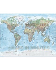
World digital vector relief map in Illustrator format with a high resolution Natural Earth linked relief background at 300dpi. Fully layered....See More£250.00
-
Large, up-to-date, layered British Isles UK road, rail & county map in Illustrator digital format.Contains county/admin boundaries and ....See More£450.00
-
Large scale, up-to-date, highly detailed, 100% editable layered vector British Isles 1st level county & regions road map in Illustrator ....See More£475.00
-
Just Updated. Highly detailed Political Road Map of Central Europe in Illustrator vector format. Fully editable including font text and la....See More£260.00
-
Up-to-date, detailed, Orkney Shetland road map in Illustrator CS format. Suitable for use up to any size. All text is editable font text.&nb....See More£70.00
-
Small scale, detailed, 100% editable layered vector Country map in Illustrator and PDF formats. Suitable for use from A4 to A3+. All text is....See More£55.00
-
Vector British Isles county road map in Illustrator CS and editable PDF format. Suitable for use from A3 up to any size. All text is editabl....See More£120.00
-
Small scale, detailed, 100% editable layered vector County Administrative map of the U.K. in either Illustrator or editable PDF formats. Sui....See More£35.00
-
Scotland, Orkney & Shetland Map, road, rail and regions, large, 2018, highly detailed, layered in Illustrator CS AI & pdf vecto....See More£325.00
-
Large, up-to-date, detailed, 100% editable layered vector county road and rail map in Illustrator and editable PDF formats. Suitable for use....See More£105.00
-
New for 2015! Large scale, up-to-date, highly detailed, accurate, fully editable and layered vector county, road & rail map. For use up ....See More£210.00
-
Large scale, up-to-date, highly detailed, 100% editable layered vector political and relief map in Illustrator CS format. Suitable for use u....See More£125.00
-
Large up-to-date, highly detailed, 100% editable fully layered vector road map. Suitable for use up to any size. All text is editable font t....See More£300.00
-
How do you make a County map more interesting? Answer...add a shaded relief layer. Large, up-to-date, highly detailed, 100% editable vector ....See More£140.00
-
Large, up-to-date 2018, highly detailed, South East England Map, vector county, road and rail map in AI Illustrator CS and PDF formats. Use ....See More£70.00
-
Royalty Free. Large and up-to-date, highly detailed, County Map in Illustrator CS format plus a Strong colour relief background 300dpi ....See More£90.00
-
Large, up-to-date, highly detailed, 100% editable layered vector county road and rail map in Illustrator and editable PDF formats. Suitable ....See More£100.00
-
SE England Map, large, 2018, highly detailed, 100% editable layered vector road, rail & county map in AI Illustrator CS and PDF formats.....See More£225.00
-
How do you make a County map more interesting? Answer...add a hill shading layer. Large, up-to-date, highly detailed, 100% editable vector c....See More£125.00
-
Royalty free city map giving good detail and area coverage including important buildings and places of interest. These City and To....See More£120.00
-
London City map giving good detail and area coverage including important buildings and places of interest. These City and Town plans have be....See More
£450.00
£299.00
-
Royalty free city map giving good detail and area coverage including important buildings and places of interest. These City and To....See More£100.00
-
Leeds large area map giving good detail and area coverage. These city plans have been developed to be equally at home in print and screen en....See More£275.00
-
Liverpool-Manchester large area vector road & rail map giving good detail and area coverage. These greater city mapss have been develope....See More£275.00
-
Birmingham-Coventry large area vector road & county map giving good detail and area coverage. These greater city mapss have been developed....See More£325.00
-
New! Greater London large area map giving good detail and area coverage. These greater city maps have been developed to be equally at home i....See More£300.00
-
Royalty free city map giving good detail and area coverage including important buildings and places of interest. Our City and Town plan....See More£150.00
-
Glasgow large area map giving good detail and area coverage. These city plans have been developed to be equally at home in print and screen ....See More£250.00
-
The small map that packs a real punch. This map can be edited into thousands of style and colour combinations. For when you need a small wor....See More
£75.00
£59.00
-
ROYALTY FREE Gall Projection Political World map @100m scale. Fully editable and layered in Illustrator and PDF vector formats. You ca....See More£40.00
-
Large size World map with capital cities and settlements layered by population. Accurate, 100% editable in Illustrator and PDF vector....See More£135.00
-
ROYALTY FREE. Large scale French language World map with capital cities and major cities. Very accurate, 100% editable in Illustra....See More£135.00
-
ROYALTY FREE Large, great detail, accurate, 100% editable World vector map in Illustrator CS format. Customise all map elements, lines....See More£95.00
-
ROYALTY FREE Large, very accurate, 100% editable World digital vector map in Illustrator format. You can choose which layers are ....See More£135.00
-
Large, extra detail, accurate, 100% editable World vector map in Illustrator format. Customise all map elements, lines, fills and edit....See More£250.00
-
ROYALTY FREE Large, very accurate, 100% editable World vector map in Illustrator format. You can choose which layers are required....See More£155.00
-
Large, extra detail, accurate, 100% editable World vector map in Illustrator format. Customise all map elements, lines, fills and edit....See More£275.00
-
ROYALTY FREE Large, very accurate, 100% editable World vector map in Illustrator format. You can choose which layers are required....See More£135.00
-
Large, extra detail, accurate, 100% editable World vector map in Illustrator format. Customise all map elements, lines, fills and edit....See More£155.00
-
ROYALTY FREE Large, very accurate, 100% editable World vector map in Illustrator format. You can choose which layers are required....See More£135.00
-
Large, extra detail, accurate, 100% editable World vector map in Illustrator CSformat. Customise all map elements, lines, fills and ed....See More£275.00
-
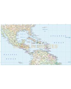
Royalty Free. Large scale, detailed vector political map of Central America & the Caribbean @10m scale with land & oc....See More£120.00
-
Royalty Free. Large scale, detailed vector political map of Central America & the Caribbean @10m scale with land & oc....See More£165.00
-
Royalty Free. Large scale, detailed digital vector political map of Central America & the Caribbean @10m scale with count....See More£120.00
-
ROYALTY FREE . Very accurate, 100% editable and fully layered in Illustrator format. You can create a physical contour map with road ....See More£140.00
-
ROYALTY FREE . Very accurate, 100% editable and fully layered in Illustrator format. You can choose to create a country map or a firs....See More£150.00
-
ROYALTY FREE . Very accurate, 100% editable and fully layered in Illustrator format. You can choose to create a country map or a firs....See More£110.00
-
ROYALTY FREE . Very accurate, 100% editable and fully layered in Illustrator format. You can choose to create a country map or a firs....See More£110.00
-
ROYALTY FREE . Very accurate, 100% editable and fully layered in Illustrator format. You can choose to create a country map, a first ....See More£199.00
-
ROYALTY FREE . Very accurate, 100% editable and fully layered in Illustrator format. Three maps in one, you can choose to create a co....See More£199.00
-
A detailed political road and rail map of the Gulf region @4m scale including contour layers for land and sea option. Suitable for use at vi....See More£300.00
-
A Political map to country level plus Road & Railways. Brazil @8m scale, suitable for use at virtually any size due to the high quality ....See More£250.00
-
A detailed political road and rail map of the Gulf region @4m scale, suitable for use at virtually any size, due to the high quality of the ....See More£250.00
-
A detailed political road and rail map of Argentina @4m scale, suitable for use at virtually any size, due to the high quality of the map ve....See More£150.00
-
Detailed Political vector map of the African continent including insets. Available in Illustrator (CS1, CS3, CS4, CS5, CS6/CC). All map elem....See More£80.00
-
Royalty Free. Detailed Political Country Map of the South American continent @10m scale. Available in Illustrator CS1, CS3, CS6 and als....See More£55.00
-
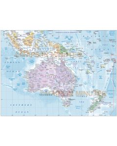
Detailed Political vector map of the Australasia continent including Indonesia, Malaysia, New Zealand and the Pacific island nations @10m sc....See More£110.00
-
Detailed Political vector map of South East Asia including country insets. Available in Illustrator (CS1, CS3, CS5, CS6/CC). All map element....See More£85.00
-
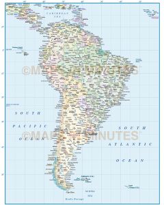
South America continent @8m scale, suitable for use at virtually any size due to the high quality of the map vector line work and carefull....See More£550.00
-
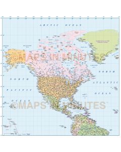
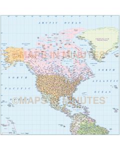
North America continent map, suitable for use at larger sizes due to the high quality of the map vector line work and carefully crafted plac....See More£750.00
-
Royalty Free. Detailed Political Country Map of the South American continent @10m scale. Available in Illustrator CS1, CS3, CS6 and als....See More£49.00
-
Three maps in one. A Political map, a Road & Railways map and a Contour map. South America continent @8m scale, suitable for use at vi....See More£625.00
-
Detailed Political vector map of the Australasia continent including Indonesia, Malaysia, New Zealand and the Pacific island nations @10m sc....See More£205.00
-
Royalty Free. Detailed Political Country Map of the South American continent @10m scale including Sea contours. Available in Illustrato....See More£69.00
-
Royalty Free. Detailed Political Country Map of the Americas large scale including Ocean floor contours. Available in Illustrator CS1, ....See More£135.00
-
Detailed Political vector map of Africa including insets & high resolution ocean floor contours. Available in Illustrator CS formats. Ma....See More£100.00
-
Detailed Political vector map of South East Asia including insets & high res ocean floor contours. Available in Illustrator (CS1, CS3, C....See More£115.00
-
Royalty Free. Detailed Political Map of Malaysia and Indonesia @10m scale with drop shadow. Available in Illustrator CS1 (for use with ....See More£49.00
-
NEW. Royalty Free. Detailed Political vector mapof Africa with 300dpi tiff relief background.Includes all country fills and boundaries.....See More£115.00
-
Royalty Free. Detailed Time Zones Map of the North and South American regions @10m scale. Available in Illustrator CS1 (for use with CS....See More£99.00
-
NEW. Royalty Free. Detailed Political vector map of South America with country coloured relief option. Includes State fills of USA and ....See More£120.00
-
NEW. Royalty Free. Detailed Political vector mapof Asia with 300dpi tiff relief background.Includes all country fills and boundaries.Av....See More£115.00
-
NEW. Royalty Free. Detailed Political Country Map of the North and South American regions @10m scale. Includes first divisions of USA, ....See More£85.00
-
NEW. Royalty Free. Detailed Political Map of South America with relief option. Includes first divisions of USA, Canada and Brazil plus ....See More£125.00
-
NEW. Royalty Free. Detailed Political Map of Africa with relief option. Includes all country fills and boundaries. Available in Illustr....See More£115.00
-
Royalty free North America Strong Relief map in Illustrator CS format. Fully layered and editable, this is a great relief map of Northern Am....See More
£90.00
£80.00
-
NEW. Royalty Free. Detailed Political vector mapof Asia with 300dpi tiff relief background.Includes all country fills and boundaries.Av....See More£115.00
-
Detailed Political North America Map, Illustrator CS6/CC vector format, also in editable PDF.high resolution ocean floor contours. Includes ....See More£90.00
-
NEW. Royalty Free. Detailed Political map of the Americas with a regular colour relief option. Includes first level divisions of USA, C....See More£175.00
-
Large Time Zones World map in Illustrator AI CS vector format. Accurate, 100% editable including text. You can select layers and c....See More£230.00
-
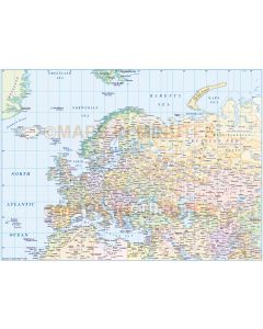
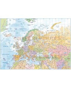
Large scale, political map of Europe in editable vector format (Lamberts projection @4,000,000 scale). Available in Illustrator CS ( ....See More£99.00
-
Highly detailed Political Road Map of Central Europe in editable vector format. 100% editable including font text and fully layered for ea....See More£165.00
-
Highly detailed vector Central Europe Political Map in editable vector format. 100% editable including font text and fully layered fo....See More£85.00
-
Relief Globe in Photoshop layered format. Large images, Size width/height 28cm (11 inches) @ 300 dpi resolution.....See More£30.00