Whole UK Relief maps

A wide selection of Whole British Isles maps containing administrative & relief options (for use from A4 up to any size) in a variety of scales. These are vector maps of the highest quality, whatever size you use them.
Fully layered and 100% editable including editable font text. Sets of these maps are available within the
British Isles Map Collections category which offer significant savings per map.
-
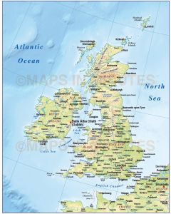
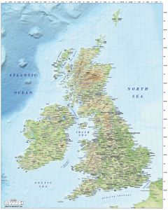
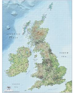 British Isles UK County map Illustrator AI, 1m scale with detailed Regular colour shaded ReliefSpecial Price £199.00 Regular Price £250.00
 -
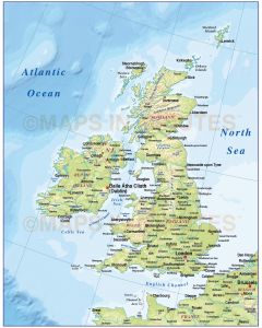
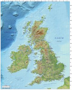
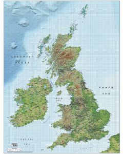 British Isles UK County map Illustrator AI, 1m scale with detailed Strong colour shaded ReliefSpecial Price £199.00 Regular Price £250.00
 -
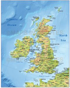
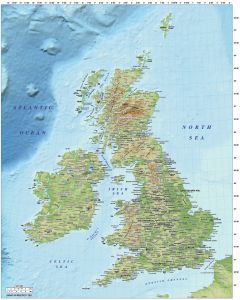
 British Isles UK County map Illustrator AI, large 1m scale with detailed Medium colour shaded ReliefSpecial Price £199.00 Regular Price £250.00