Robinson Projection Political World Map (UK centric) @10M scale
ROYALTY FREE Large, very accurate, 100% editable World digital vector map in Illustrator format. You can choose which layers are required and turn on or off, customise all map elements, lines, fills and editable font text. Use as is or add other information to create your own image.
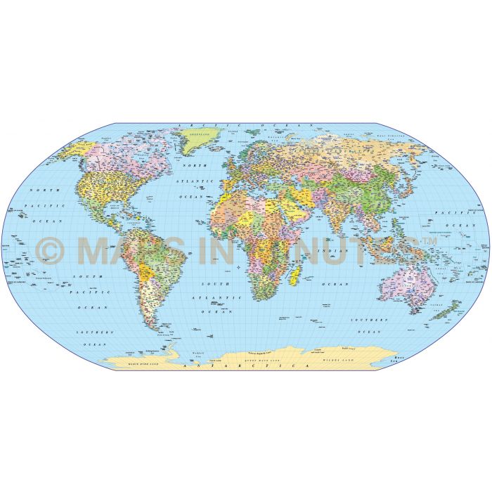
Robinson Projection Political World map (UK centric) @10,000,000 scale
Fully editable, up-to-date, large scale Political World map in a choice of vector formats.
Layers include: Coastlines and islands, country borders & fills, country names, sea/ocean names, rivers, major/minor lakes, river names, physical names, capital cities plus over 3400 settlements, major airports, latitude/longitude @ 10, 5 & 1 degree intervals plus an up-to-date International Date Line. Includes first level borders and fills for Australia, Brazil, Canada, China, India, Russia and the United States.
Technical Info/Formats: Choose from Illustrator CS (for use with Illustrator CS1 to CS6 or later) or Adobe Acrobat Editable PDF 6.0 format. Our maps in PDF 6.0 format are fully layered within Acrobat but can still be opened and edited in Illustrator CS4 -CS6 while retaining full layering with 100% editability.
Map dimensions: 60" D x 100.34" W (129.53cm D x 254.88cm W)
Extracted Document sizes: Illustrator CS: 50.4Mb Acrobat PDF: Coming soon
Licence: Please click on the Licence tab to download and print the lifelong licence for this product.
Authors notes: This map is updated for 2014. Suitable for use up to any size but if using the whole map it is not suitable for under A3 due to the amount of detail. Useful to be able to crop any area/region of the world. The International Date line has recently been updated and that is reflected in all our World maps. Many maps for sale on the web do not show this line correctly.
Usage: Technical Suitable for whole-world reference maps. Note, however, that areas are not represented in their correct relative sizes, and the poles are shown as lines the whole width of the map, rather than as points. If these are problems, try Hammer. Gall Stereographic is a popular choice in the United Kingdom.
Graphical Suitable for world maps in brochures, but not suitable for displaying world statistics such as distribution of resources, vegetation, population, or industrial activity. For such maps, try Eckert IV, Mollweide, or Hammer.
| Licence | Lifelong |
|---|